Saturday, 8 August 2026, 22:43
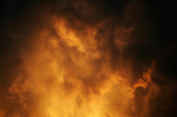
California is in the middle of a scorching heat wave that is raising fire danger across the state. Forecasters have issued warnings for triple-digit heat in the Central Valley and Southern California interiors, with elevated fire weather expected to continue into next week.
According to Action News Now, an Excessive Heat Warning remains in effect through Sunday evening for the Sacramento and San Joaquin Valleys, the Sierra foothills, and mountain locations north of Highway 50. Overnight lows will stay warm, generally in the low to mid-70s, and widespread triple-digit heat will create a Moderate to Major HeatRisk through the weekend.
The Los Angeles Times reports that non-coastal areas across Southern California are under a heat advisory, with temperatures of 90 to 100 degrees expected in inland parts of Los Angeles, San Diego, Orange, Ventura, and Santa Barbara counties. The Inland Empire could see readings from the mid-90s to 103. An extreme heat warning is in place for the high desert, where the Antelope Valley could hit 112 and the Mojave Desert could reach 120.
Elsewhere, temperatures could reach 109 in the Central Valley and the low 100s in the hottest parts of the Bay Area. The heat is running significantly hotter than normal for this time of year, with highs approaching 110 on Saturday in the Sacramento Valley.
The National Weather Service issued a heat advisory on Saturday for the interior Bay Area and Central Coast, in effect through Sunday night. Forecast highs range from 90 to 105 degrees Fahrenheit in some interior areas, with overnight lows between 60 and 80. The advisory covers parts of all Bay Area and Central Coast counties from Monterey to Sonoma, except Marin County. Cooling center locations are available through the California Governor's Office of Emergency Services website. The NWS advises residents to avoid strenuous outdoor activities, stay hydrated, and schedule outdoor chores for the morning or evening hours when temperatures are cooler. Pet owners are urged not to leave animals in vehicles.
Hot, dry conditions and low humidities are keeping fire weather elevated. The National Weather Service office in Oxnard warned that if a fire starts, there is a high risk of rapid growth and plume-dominated behavior across interior valleys, mountains, and deserts. Elevated fire conditions are forecast in interior Southern California, the Central Valley, the Bay Area, and parts of the North Coast.
Those conditions are already showing real-world impacts. The Ridge fire, burning near Gorman in Los Angeles County, temporarily forced the closure of the Grapevine section of Interstate 5 on Friday evening and triggered an evacuation order. The fire has burned at least 1,000 acres, and officials issued a smoke advisory for surrounding areas. The Los Angeles County Department of Public Health warned that smoke exposure could cause irritation of the eyes, nose, throat, and lungs, and urged people with severe symptoms to seek medical attention.
Forecasters also see a slight chance of afternoon thunderstorms along the Sierra south of Highway 50 through the weekend. Those storms could bring lightning, gusty winds, and a potential for new fire starts, adding to the risk in already dry terrain.
In addition to heat, the National Weather Service in Monterey issued a coastal flood advisory for the Bay Area from Friday evening through Thursday morning. Up to 1.6 feet of inundation above ground level is possible in low-lying areas near shorelines and tidal waterways.
The advisory covers shorelines along San Francisco, San Pablo, and Monterey bays and remains in effect through 2 a.m. Thursday. High tides could flood parking lots, parks, and roads in affected areas.
Minor coastal flooding is also possible in low-lying areas of Los Angeles and Ventura counties, especially on south-facing beaches Monday through Wednesday. Because of forecast high tides, Metrolink will suspend Orange County Line service from Monday through Wednesday south of Laguna Niguel/Mission Viejo and north of Oceanside. Amtrak Pacific Surfliner, which uses the same tracks, is still expected to operate.
For the Sacramento Valley and Northern Central Valley, the combination of an Excessive Heat Warning and elevated fire weather makes this a particularly dangerous stretch. Warm overnight lows mean little relief for people without air conditioning, and dry, gusty conditions in the northern Sacramento Valley raise the chance that any spark could turn into a fast-moving fire.
This heat wave is being driven by a dominant high-pressure ridge that has pushed temperatures well above seasonal averages. Forecasters expect the ridge to slowly break down next week, bringing a gradual cooling trend and increasing onshore flow for some relief.
California is facing a multi-day heat event with serious fire danger. Residents should stay alert to local warnings, avoid outdoor activity during peak heat, and follow evacuation orders if they live near active fires. The forecast calls for cooler conditions next week, but until then, heat and fire risks remain high.