Tuesday, 27 October 2026, 8:39
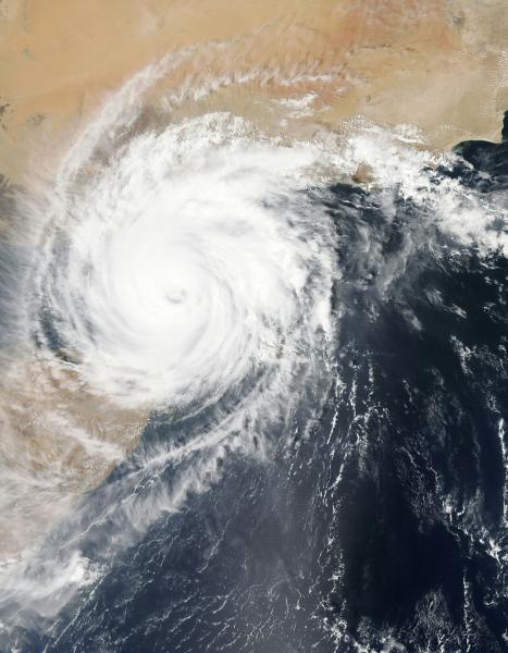
Cloudy skies and unsettled weather are moving into Imperial County this weekend, bringing a brief cooldown and scattered precipitation.
Sunday starts with overcast conditions and a 30 percent chance of showers, along with a slight possibility of afternoon thunderstorms. High temperatures will hover between 94 and 99 degrees Fahrenheit, offering a slight reprieve from recent heat.
Monday continues the trend of broken clouds. Morning showers are possible before skies gradually clear to partly sunny conditions during the afternoon. Highs will reach approximately 93 degrees Fahrenheit.
Monday night brings a shift in wind patterns, with speeds increasing to 10-20 mph. A slight chance for showers remains overnight. While meteorologists are tracking these systems closely, widespread heavy rain is not anticipated for the lower desert regions.
Neighbors to the north in Yuma, Arizona, face similar conditions with afternoon showers and a 40 percent chance of rain Monday night. However, residents in Imperial County should note that a Flood Watch currently covers higher terrain in central and eastern Arizona but does not extend to California.
Temperatures will remain near or below normal through mid-week before a gradual warmup approaches next weekend.
The incoming moisture poses minimal disruption to daily life in El Centro. Local farmers may appreciate the light rainfall for soil moisture retention, while commuters should exercise caution on highways if precipitation intensifies briefly.
Imperial County occasionally experiences late-season monsoonal flows that deliver short bursts of humidity and scattered showers. These events typically dissipate quickly without causing significant flooding or infrastructure damage.
Residents are advised to monitor local weather updates as the system moves through. With temperatures settling comfortably in the 90s and a low risk of severe impacts, this weather pattern offers a refreshing break before seasonal warming resumes.