Lunes, 22 Junio 2026, 5:01

(Source: Source )
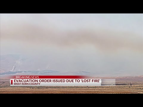
Evacuation orders and warnings are in effect for multiple zones after the Lost Fire, a wildfire southwest of Lost Hills in Kern County, grew to 7,500 acres within a day. The fire, which started on Thursday, June 18, 2026, at approximately 3:03 a.m.
west of Highway 33 and 7th Standard, is currently 5% contained, according to CalFire. The Kern County Fire Department (KCFD) reported that firefighters were initially making progress and were close to containing the blaze when a sudden shift in wind direction caused the fire to spread rapidly.
The wind shifted multiple times, complicating containment efforts. Despite the fire's growth, KCFD officials stated there is no direct threat to the community of Lost Hills, and personnel have been stationed at structures in the vicinity to protect them.
No injuries have been reported, and the cause of the fire remains under investigation. The following zones are under evacuation orders: KRN-209-B, KRN-219-B, and KRN-243-B.
Residents in these zones are urged to leave immediately due to an imminent threat to life. Evacuation warnings have been issued for zones KRN-245 and KRN-243-A, advising residents to be prepared to leave at a moment's notice.
Detailed maps of the evacuation zones are available online. Firefighters continue to battle the blaze, which is fueled by dry vegetation and shifting winds.
The Lost Fire is being managed by CalFire and KCFD, with support from other local agencies. The public is advised to avoid the area and follow all evacuation orders and warnings.
© California TodayTodos los derechos reservados