Tuesday, 27 October 2026, 8:12
Key Takeaways:
The aftermath of Post-Tropical Cyclone Rachel has left Southern California dealing with lingering moisture and fresh precipitation. While the initial storm system has largely moved through, residents across the region should prepare for another round of weather changes starting this weekend.
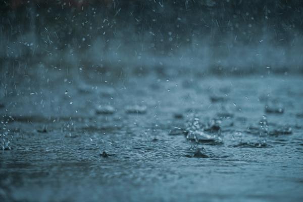
Meteorologists at NBC4 indicate that a secondary area of low pressure approaching from the north will pull additional moisture into the Southland. This second wave of rain is forecast to be widespread but fairly light, with most areas receiving less than an inch of precipitation. The showers are anticipated to be spotty rather than continuous, tapering off by Monday night.
"Not everyone is going to see it at the same time," said NBC4 Meteorologist Shanna Mendiola. "It is going to be really, really spotty all the way up until the deserts as this moves through."
Beyond the rain, this incoming system will introduce noticeably cooler conditions, bringing a brief taste of fall to the region. Residents may want to keep jackets and umbrellas handy as temperatures dip. Meanwhile, mountain communities and parts of the high and low deserts are under a wind advisory. Coastal areas, including Long Beach, remain under a flood advisory due to strong surf and potential localized flooding.
In coastal hubs like Long Beach, mandatory evacuations have been issued for vulnerable sections of the peninsula due to dangerous surf conditions. Newport Beach piers have also been closed indefinitely as high water levels threaten infrastructure. These localized disruptions highlight how even light rainfall can amplify existing coastal hazards when paired with strong ocean swells.
This brief cold snap will not last long. Forecast models show temperatures climbing back toward summer levels by the end of the week and into next weekend. The quick shift from mild heat to crisp autumn air and back again serves as a reminder of the volatile seasonal transitions common in Southern California.
Post-tropical cyclones frequently impact Southern California during the fall months, often carrying remnants of Pacific storms that lose their tropical classification but retain significant moisture and wind energy. Historical patterns show these systems typically pass quickly without causing major damage, though they do require vigilance regarding coastal erosion and flash flooding.
Residents should monitor local forecasts closely over the next few days as the rain moves through. While heavy flooding is unlikely, caution is advised along coastlines and in flood-prone inland valleys. Stay safe and enjoy the brief seasonal change.